GIS Technician
GIS stands for Geographical Information Systems. A GIS technician uses data and turns it into information by compiling it into layers or factoring out the information that is not asked for. Eventually the technician could be promoted to an analyst and then a specialist where they will use this information that a technician compiles to implement into a project and make informed decisions.

A Day in the Job
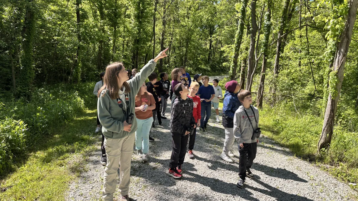
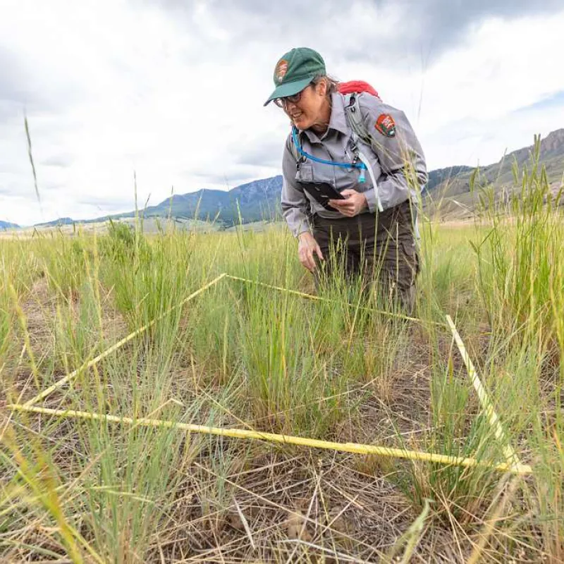
A day in the life of a GIS Technician often blends time outdoors with time working on a computer. In the field, they may use GPS units, drones, or mobile mapping apps to collect location data such as the boundaries of a trail, areas impacted by wildfire, or the location of specific trees, habitats, or infrastructure. They carefully record coordinates, take notes, and sometimes capture photos to ensure the data is accurate and complete.
Back in the office, they upload and organize that data using mapping software to create detailed digital maps. They might layer different types of information - like vegetation, terrain, and fire history - to look for patterns or trends. For example, they could help identify areas at higher risk for wildfire, map trail systems for public use, or support forest management decisions. Their work turns raw data into visual tools that help scientists, land managers, and communities better understand and care for the environment.
Work Takes Place
Skills
Career Categories
Protecting the Natural World Investigating the Environment
Potential Employers
Government Agencies (federal, state, local)
Engineering & Surveying Firms
Private Utility Companies
A Day in the Life
Meet a Geographic Information System (GIS) Analyst
Imagine yourself using the same technology behind Google Maps, Pokémon Go, and social media location tags to help track wildfires, protect drinking water, and solve real environmental problems. Hannah Walters, a GIS Analyst at Denver Water, shares how her love for hiking, maps, science, and exploring Colorado’s mountains turned into a career using Geographic Information Systems (GIS) to solve environmental problems. Learn more about Hannah's career journey and what it's like to be a GIS Analyst in her presentation at the Green Pathways: Careers That Matter event in 2026.